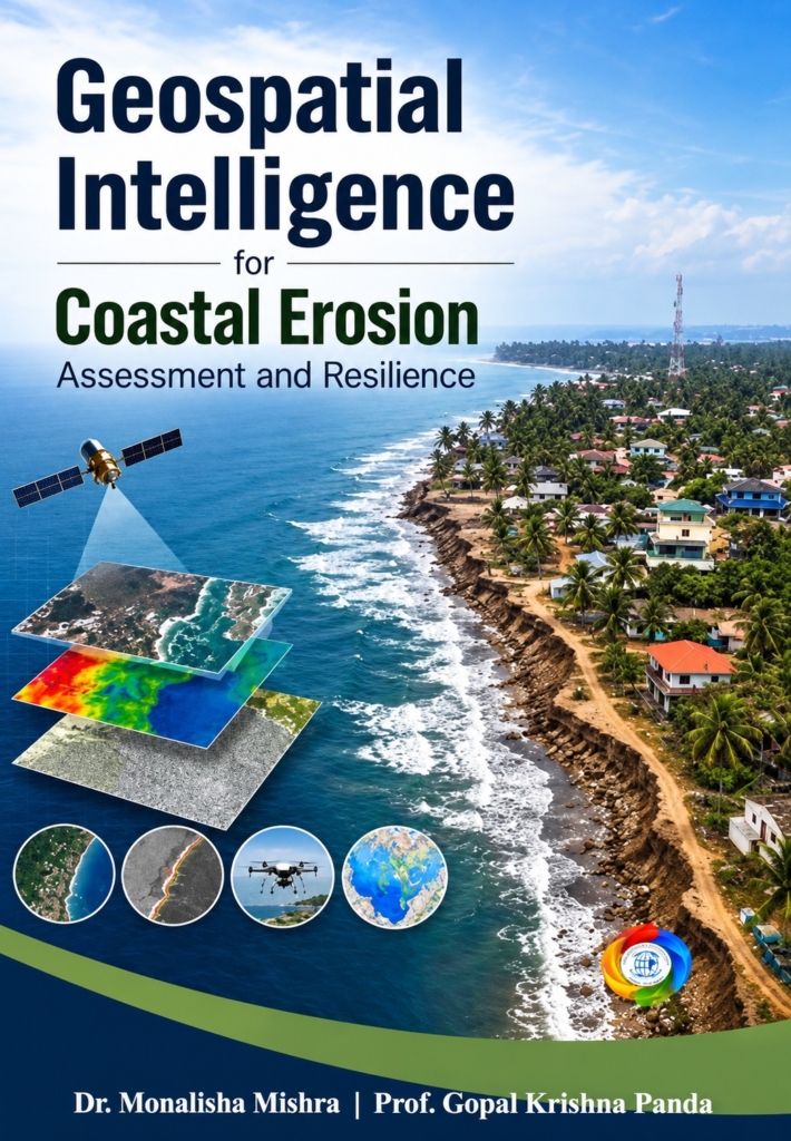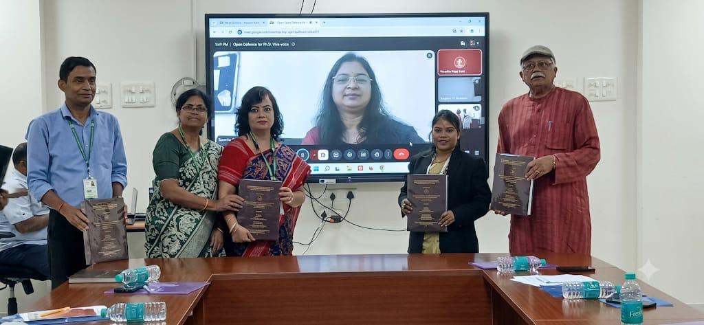
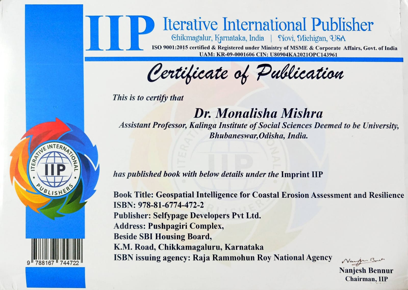
Dr. Monalisha Mishra, Assistant Professor, Department of Geography, School of Tribal Resource Management, KISS Deemed to be University, has published a new book, Geospatial Intelligence for Coastal Erosion Assessment and Resilience, co-authored with Professor Gopal Krishna Panda, Professor Emeritus, KISS-DU and published under the imprint of Iterative International Publisher (ISBN: 978-81-6774-472-2 and DOI https://www.doi.org/10.58532/nbennur3226).
This book focuses on Odisha coast along the Bay of Bengal as a case study, and showcases how Remote Sensing, GIS, spatial modelling and geospatial analytics can be used to monitor and manage coastal erosion, applying the Digital Shoreline Analysis System and the Coastal Hazard Wheel model to multi-date, open-source satellite data. Spread over eight chapters with many colour maps and photographs, it covers vulnerability and risk mapping, shoreline retreat over the last twenty years, district and sub-district risk assessment, and management options for sustainable coastal protection. It is a practical reference for students, researchers, planners, policymakers and disaster management professionals working in coastal geomorphology, environmental science, climate adaptation and geospatial technology. In the context of KISS, this book offers a locally relevant, step-by-step guide to learning GIS and remote sensing with free, open-source data, helping them build job-ready geospatial skills and take up research and project work on their own state’s coast.
It further contributes to SDG 13 (Climate Action), SDG 14 (Life Below Water), SDG 11 (Sustainable Cities and Communities), SDG 9 (Industry, Innovation and Infrastructure) and SDG 4 (Quality Education).